
How about a map?

How about a map?
I enjoy reading Docklands News, but get confused as to where all the different locations are, for example NewQuay, South Wharf, Waterfront City, Yarra’s Edge, Harbour Town, as well as the location of the community garden and the various streets such as St Mangos Lane.
Would it not be possible to include a small map in each edition to help those who don’t necessarily live in the area? There seem to be new streets opening up all the time.
Max
Related Articles

DV doesn’t Echo Docklands
Docklands News comments by Jackie Watts are spot on.
Read More
Why is Docklands carefully ridding itself of any evidence of its vibrant marine past?
Classified Harbour Esplanade sheds were to be carefully demolished and ultimately carefully rebuilt perhaps on Central Pier.
Read More
No “ghost footprint”
The harbour looks so much better now that Central Pier has been demolished. It has really opened the vista. Marking the footprint of the demolished pier with buoys and lights is totally unnecessary.
Read More
From one café client to 60 brands: The growth of Born Social

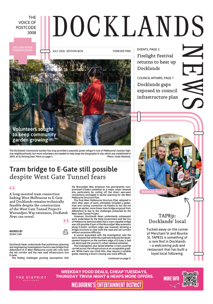
Tram bridge to E-Gate still possible despite West Gate Tunnel fears

 Download the Latest Edition