
What if Melbourne was underwater?

By Meg Hill
A Melbourne Knowledge Week (MKW) event posed the question “What if Melbourne was underwater?” To which the answer was given: it was, it is and it will be.
It wasn’t what everyone was expecting. Although the discussion was around the impact of climate change, it was mostly about rivers and floodwater.
One audience member spoke in the discussion to point this out: “The obvious thing for me are rising sea levels”.
Which is definitely one aspect of it. According to the Climate Risk website, if ocean levels were to rise at current predictions, most of Docklands would be underwater by the end of the century.
But it’s not entirely a different issue. Most of the increasingly volatile weather that causes overland floods is because of the same changes in climate that cause sea levels to rise.
There were three panellists, including David Sornig, the author of Blue Lake: Finding Dudley Flats and the West Melbourne Swamp and general expert on the history of the Docklands area.
MKW’s 2019 theme: “So, what if …”, posed hypothetical questions about the city and its future, but answers broke down a pre-supposed binary between past and future.
“My take on it is to think about how Melbourne was underwater, and Melbourne was a watery place before it was called Melbourne,” Mr Sornig said.
“If we look back to just before the colonial period, if you went up and stood on what became known as Batman’s Hill and looked towards what is now Docklands, what you’d see would be a place of water.”
So although Docklands today has an artificially-created Victoria Harbour and a man-altered course of the Yarra, it was already naturally one of the region’s water centres.
Karen White, another panellist, is a “water professional” who combines science and policy.
“My premise is that Melbourne does go underwater on different occasions,” she said.
“Melbourne can flood three different ways, one is flooding from rivers. It can also flood because of tidal influx into the river and rising sea levels, and it can also flood from overland flow.”
The last part refers to floods caused by intense rainfall over a short period of time. A decent event of this size happened in December last year when we had over 30cm of rain in less than 15 minutes.
Punt Rd was underwater, Swan St, Port Melbourne, East Melbourne, and definitely parts of Wurundjeri Way.
Karen said Melbourne Water statistics found that there were currently 230,000 properties in Melbourne at risk of flooding, and that only 50 per cent of people who lived in a flood risk area knew that they did.
The third panellist, Dr Erin O’Donnell, is a member of the Birrarung Council – the voice of the Yarra.
She’s done research into the new field of legal rights for rivers, and said one of the interesting things in Melbourne is how our relationship with the Yarra has changed.
“We used to be embarrassed of our rivers, but now we embrace them,” she said.
“In the context of this conversation around climate change there’s a tendency to frame this as apocalyptic, but it’s a future we already have.”
“But it’s also a future we have to understand in the context of the past we have been living with, and that the Aboriginal people have been living with for tens of thousands of years.”
Related Articles

Why Docklands frequent flyers choose on-airport parking for a long trip away
For trips that run into weeks, frequent flyers park their car at the airport rather than hail a cab at both ends of a fortnight.
Read More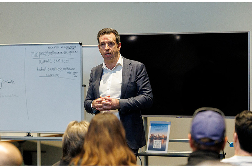
Development Victoria pressed over Docklands’ unfinished business
Development Victoria has faced direct questions from Docklands residents over the future of Central Pier, Victoria Harbour safety issues and whether the precinct’s public infrastructure is keeping pace with its growing population.
Read More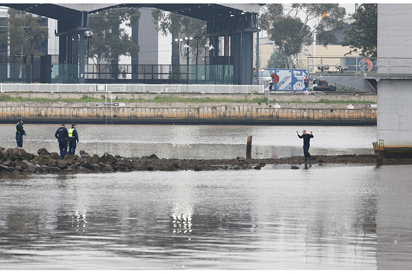
Pam the Bird suspect arrested after Bolte Bridge standoff
A man who appears to be alleged “Pam the Bird” graffiti artist Jack Gibson-Burrell has been arrested at Collins Wharf in Docklands following an hours-long standoff with police on the Bolte Bridge.
Read More
Pam the Bird suspect arrested after Bolte Bridge standoff
Police in standoff with Bolte Bridge graffiti trespasser

 Download the Latest Edition