
School streets for Docklands’ kids

Children learn from everything they see, hear, smell or taste.
The way from home to school and back is formative – we all remember it. This journey can be rich in sensory and social experiences along the way, or rather constrained, strapped in the back of a car. The difference largely depends on the safety of walking independently.
Streets have been and can be lively places of social encounter, where children can afford playing in many ways, and learn from observing street life. This has been eroded since the 1920s with more and more space being appropriated by motor vehicles. Crossing the street has been increasingly limited too, and ultimately constrained to designated locations.
Docklands has ample pedestrian promenades, but the suburb wasn’t coherently planned for children’s independent mobility. Now it also has a primary school with more than 600 students, and the case for a high school is mounting.
Yet while some streets are safe for children to walk others are not. And that is the crux of the problem – a single unsafe crossing can broadly deter walking.
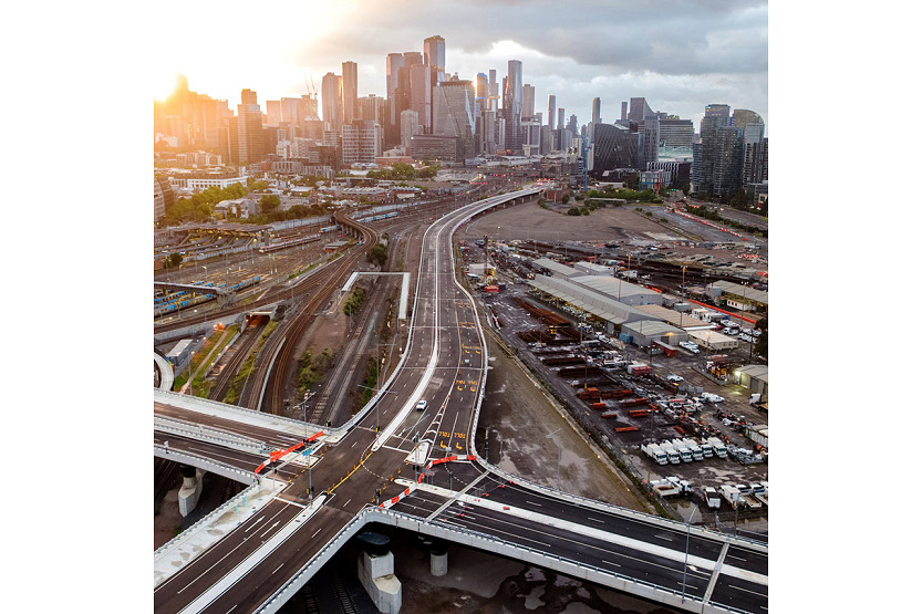
Docklands Drive is one of the biggest impediments for children’s mobility. The intersections at St Mangos Lane and Harbour Esplanade leading to Docklands Primary School were designed for cars and are dangerous for children.
Crossings are under-dimensioned in width, and green light cycles are too short for the myriads of little steps wanting to get to school. Less than a fifth of public space and very limited time are allocated for pedestrians. It is a major barrier to pedestrian and cyclist mobility.
As at most signalised intersections in Melbourne, pedestrians still have to push a button to ask for their right to cross. During the 2020-21 pandemic green lights for pedestrians were automated throughout Docklands as in the CBD, but then were returned to the mid-20th century car-focused status quo.
Prioritising carbon intensive transport modes ahead of the carbon neutral ones doesn’t help transitioning to a clean energy future either.
At a symbolic level, the historic “Drive” designation is also implicitly endorsing high velocity, which is incompatible with child-friendly street design. Docklands Drive’s urbanising character with its increasing numbers of pedestrians and a multiplicity of crossings is no longer consistent with the definition of “Drive” in the State of Victoria’s naming rules. Rather, it would fit the classification of a “Parade” better. But are we ready to re-imagine our ways?
In the meanwhile, many cities are pushing ahead at an impressive tempo. In the UK and Europe ever more “school streets” are being closed to motorised traffic, during school times, or permanently. Paris has pedestrianised more than 200 street-sections in front of schools and is aiming for many more. The key to success was temporary testing, using low-cost interventions first, demonstrating the difference. People then judged for themselves, and generally decided to turn the temporary into permanent, which then could be further upgraded.
“What pops up must come down”, the saying goes, but good things that pop up stay on. It would cost little to test what would happen if the northern section of St Mangos Lane was temporarily closed to vehicles. Children are not shy of testing difference. Maybe we should learn from them to re-imagine our public spaces.
As Docklands is gradually shifting from a large-scale property-development to a series of thriving neighbourhoods, it is time to reconsider how public space is allocated and designed.
A built environment that is fair to our children and can give hope for a dignified future has to be one in which they have independent mobility. The answers to our challenges are out there for all to see. •
Dr Elek Pafka is a senior lecturer in urban planning and urban design at the Faculty of Architecture, Building and Planning at the University of Melbourne.
Related Articles
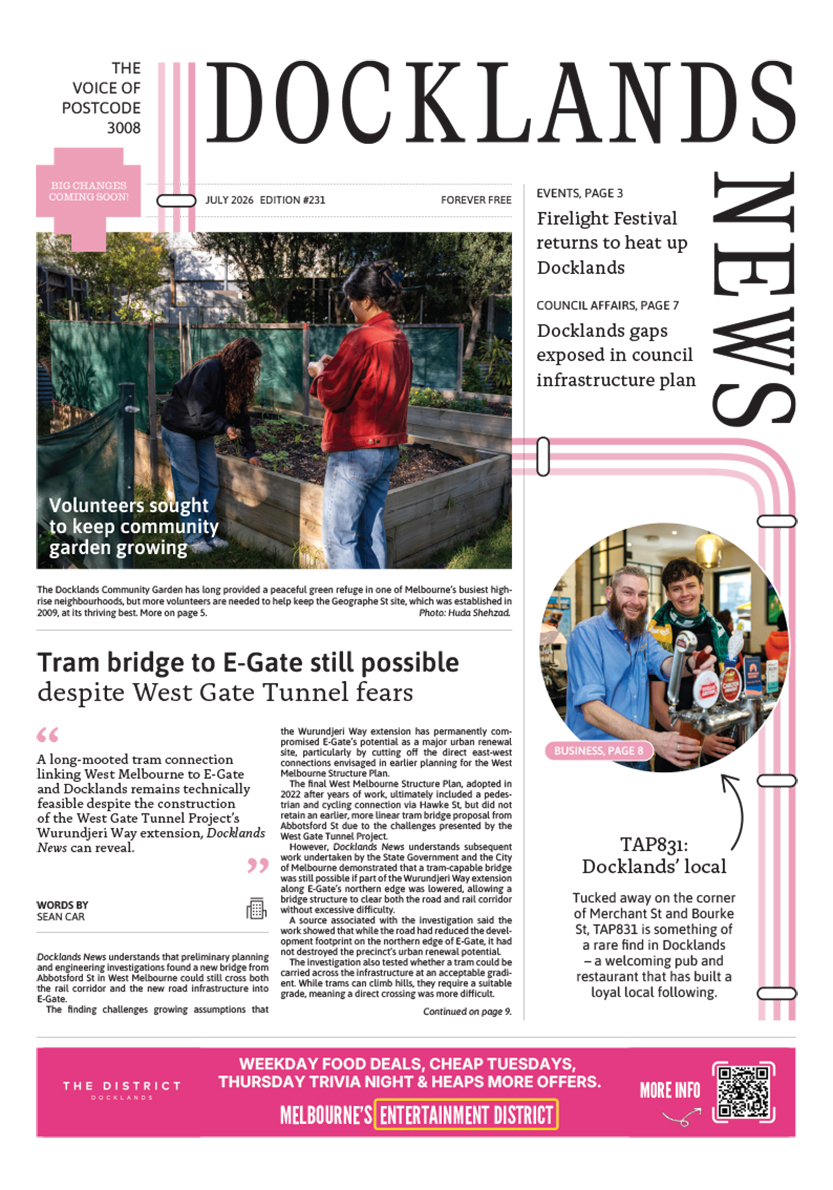
Tram bridge to E-Gate still possible despite West Gate Tunnel fears
A long-mooted tram connection linking West Melbourne to E-Gate and Docklands remains technically feasible despite the construction of the West Gate Tunnel Project’s Wurundjeri Way extension, Docklands News can reveal.
Read More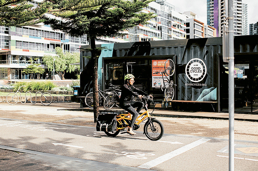
Good Cycles departs Docklands bike hub after decade on Harbour Esplanade
The Good Cycles bike hub on Harbour Esplanade has closed after almost a decade in Docklands, opening up a new opportunity for the City of Melbourne and Development Victoria to rethink one of the waterfront’s most visible small-scale activation sites.
Read More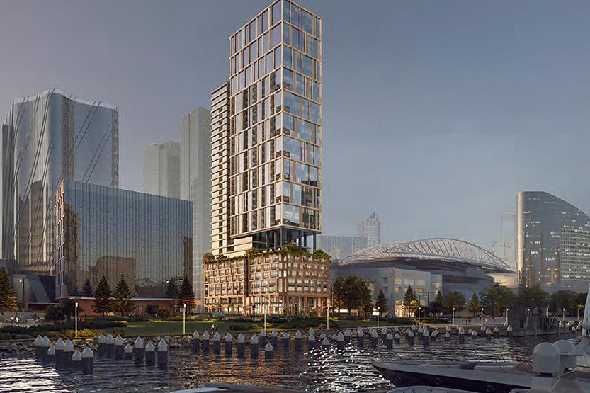
State approves major Docklands build-to-rent tower near Marvel Stadium
The Victorian Government has approved a major new build-to-rent tower in Docklands, giving the green light to a 554-home rental project at 699 La Trobe St in another sign of the precinct’s growing role in Melbourne’s expanding BTR market.
Read More
From one café client to 60 brands: The growth of Born Social
Tram bridge to E-Gate still possible despite West Gate Tunnel fears

 Download the Latest Edition